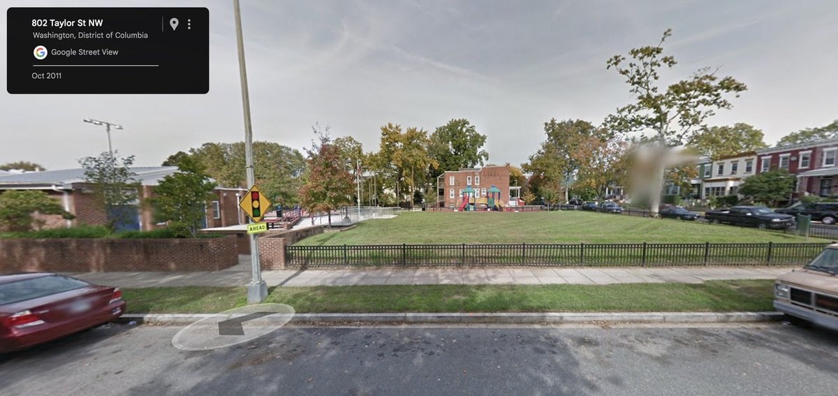
ANC 1A Commissioner Kent Boese posted information on his Park View blog about two upcoming, fascinating research presentations on the history and impact of segregation on DC neighborhoods. As the first presentation is in Park View, the meeting tomorrow will focus on the history of the Park View area. Below is an except of the blog post; head over to the Park View blog to read the full post.
Prologue DC historians Mara Cherkasky and Sarah Shoenfeld will present the latest findings in their ongoing research project, Mapping Segregation in Washington DC. This ongoing research project looks in depth at the historic segregation of DC’s housing, schools, recreation facilities, and more. The project’s first year has focused on racially restrictive housing covenants and legal challenges to them.
Maps are used to better understand how many of DC’s “historically black” neighborhoods were once exclusively white, and how the city’s racial geography has been shaped by segregation. Maps tell stories that words cannot.
The first presentation is Wednesday, June 10 at 6:30 p.m. at the Park View Recreation Center (693 Otis Place NW) and the second is Wednesday, June 17 at 6:30 p.m. in the Great Hall of the Martin Luther King Jr. Memorial Public Library, (901 G Street NW). Both events are free and open to the public.
Mapping Segregation is an ongoing project, so check their website for updates.
Excellent Source: Park View


